Cajón del Maipo Guide: What to Do, How to Get There and What to See
Cajón del Maipo is the mountain valley closest to Santiago. This guide helps you decide what to do, how to get there, when to go and what to bring, and also covers the animals and plants you will see, how the valley was formed and what its history is.
What is Cajón del Maipo
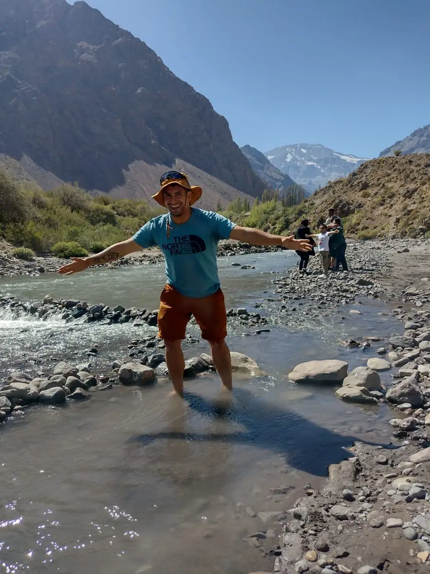
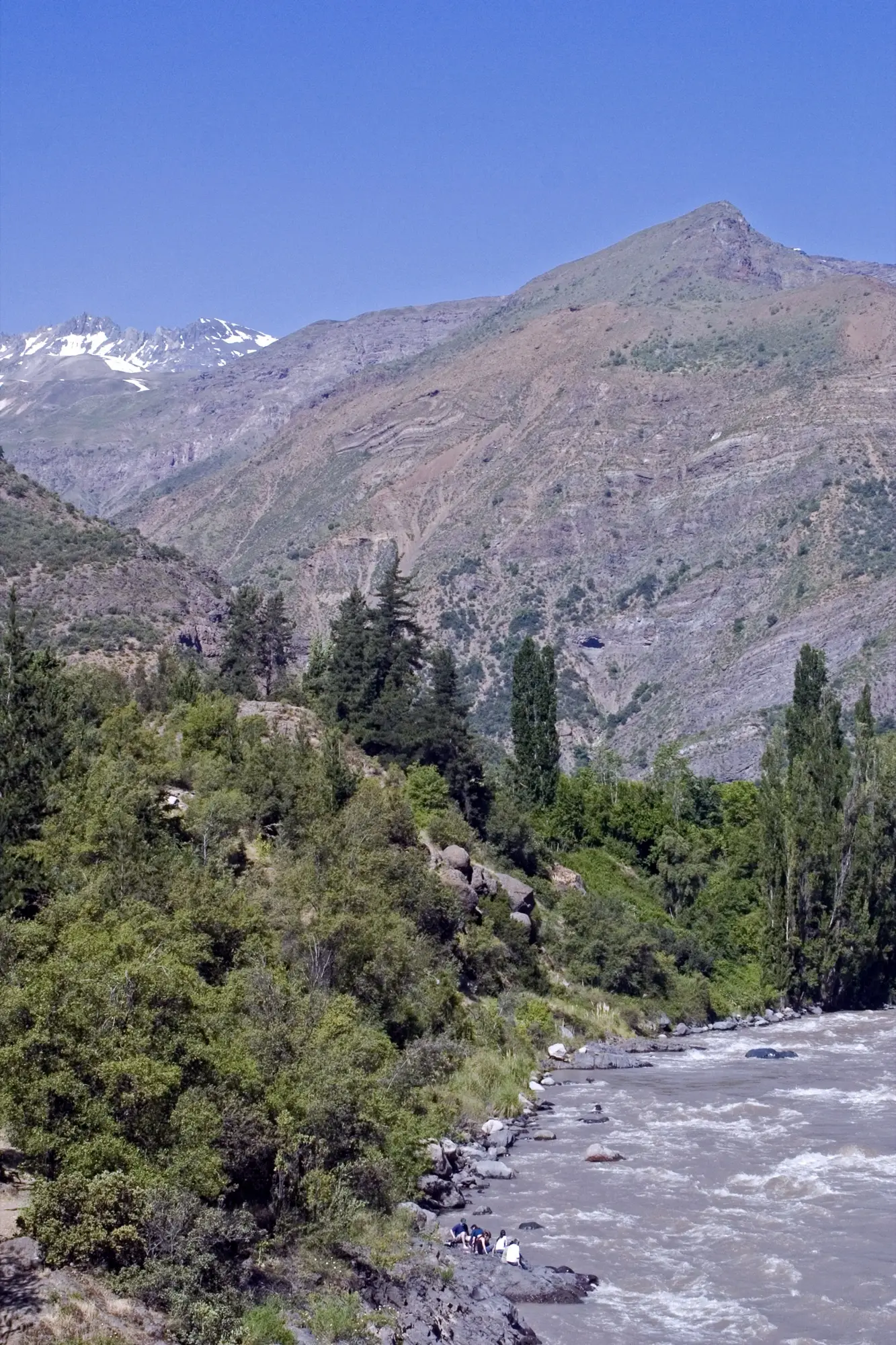
In just over an hour from Santiago you reach San José de Maipo, the gateway to the valley. From there the road keeps climbing past rivers, hot springs, glaciers and snow-capped peaks all the way to the San José volcano (5,856 m), on the border with Argentina. It is a glacial canyon in the commune of San José de Maipo, in the Metropolitan Region.
The commune covers 4,994.8 km² and had 18,189 inhabitants in the 2017 Census: fewer than four people per square kilometer. That is why, beyond San José de Maipo, the valley is a place of small villages such as San Alfonso, San Gabriel, El Romeral, El Volcán and Baños Morales, and of abundant nature. In March 2025, the first Tourist Interest Zone (ZOIT) in the Metropolitan Region was approved: San José de Maipo.
How to get there from Santiago
The main route is the G-25, known as “Camino al Volcán”. It starts in Puente Alto and climbs through San José de Maipo, San Gabriel and El Romeral to El Volcán and Baños Morales. These are the reference distances and times:
| Destination | Approximate distance from Santiago | Approximate time |
|---|---|---|
| San José de Maipo | About 50 km | 1 h to 1 h 30 |
| Baños Morales and El Morado Natural Monument | 93 km | About 2.5 h |
| El Yeso Reservoir | Between 98 and 110 km | 2 h to 3 h |
| Valle de Colina Hot Springs | 109 km | About 2.5 h |
From San José de Maipo to El Yeso Reservoir it is an hour and a half of driving. The final stretches to the reservoir and to Valle de Colina Hot Springs are gravel, and a high-clearance vehicle or 4x4 is recommended, especially in winter.
Without a car. You can take Metrobús 72, which leaves from the Bellavista de La Florida Intermodal Connection (Metro Line 5). In high season there are also tourist buses with advance booking. Schedules change: confirm them before you travel. Another option is to book a tour with transfer from Santiago.
Before you set out. The road into the mountains can close in bad weather. On January 9, 2023, for example, the G-25 was cut off by flash floods and 52 people were stranded in Baños Morales after a bridge was swept away. During a weather alert, Carabineros (Chile’s national police) at San Gabriel can suspend access. You can check the road status at their police post, (+56) 22 922 3315, and look at the notices from Vialidad, the road authority (MOP), and from Senapred (national emergency service).
What to do in Cajón del Maipo
If you are not sure where to start, this quick guide helps you choose:
- Scenery and photos: El Yeso Reservoir.
- Hiking: El Morado Natural Monument.
- Relaxing: Valle de Colina Hot Springs.
- Exploring the valley on horseback: horseback rides with local arrieros.
- A short hike with a waterfall: Cascada de las Ánimas, in San Alfonso.
El Yeso Reservoir
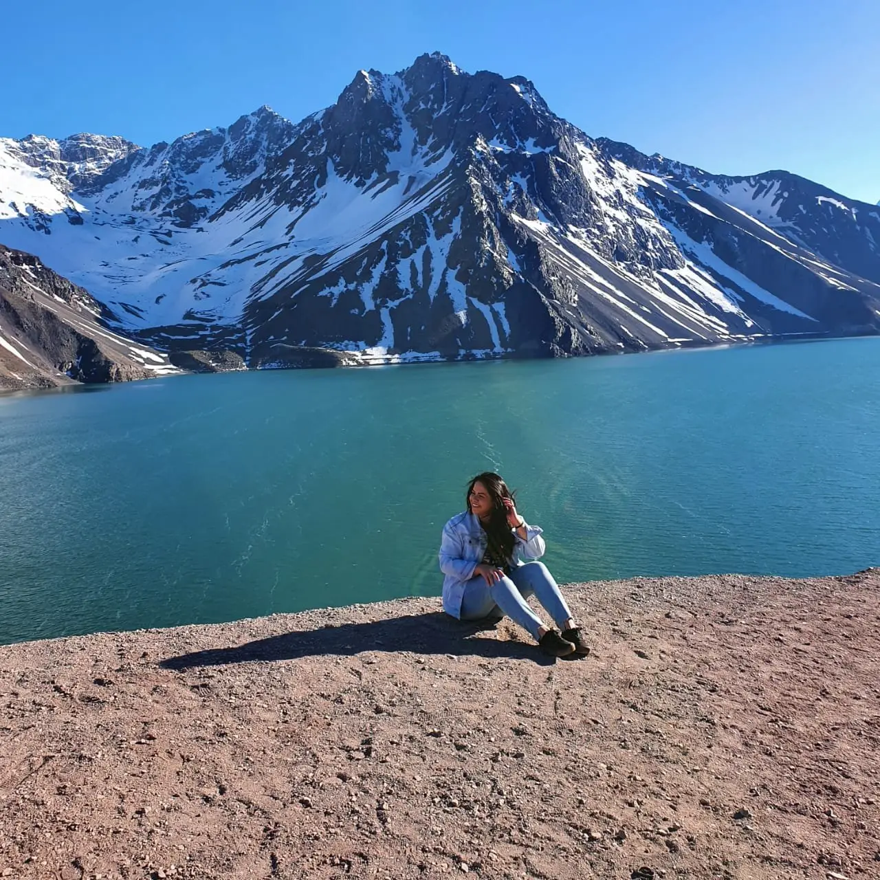
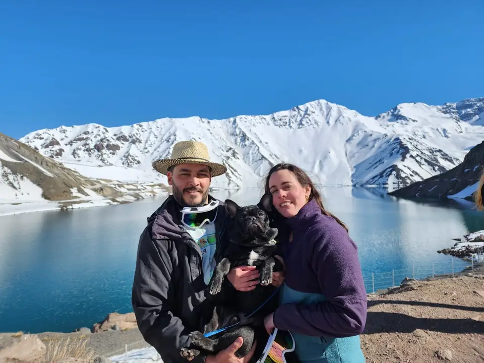
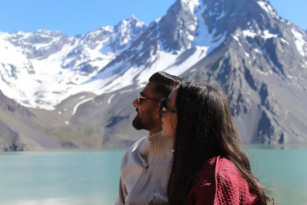
El Yeso Reservoir sits in the Yeso River valley, which is fed by meltwater from the glaciers. It was inaugurated in 1964 on top of an old natural lake and lies at more than 2,500 m above sea level. When full it holds about 220 million cubic meters of water, equivalent to about three months of supply for Santiago. In the photos in this guide you can see its turquoise water, surrounded by rocky mountains that keep snow for much of the year.
Among the possible activities is seasonal fishing. Access to the shoreline is restricted for safety reasons, and entry to El Yeso Reservoir - Laguna Negra Natural Park is by advance reservation, so confirm hours and season before you go. It is much colder up there than in Santiago: see the temperature table below.
You can visit it on the Cajón del Maipo and El Yeso Reservoir tour or on its private version.
El Morado Natural Monument and Baños Morales
El Morado Natural Monument protects 3,009 ha of high mountain terrain. It was created in 1974 as a Tourism National Park and has been a Natural Monument since the mid-1990s. It is the only high-mountain protected area in the Metropolitan Region and received about 10,000 visitors in 2024.
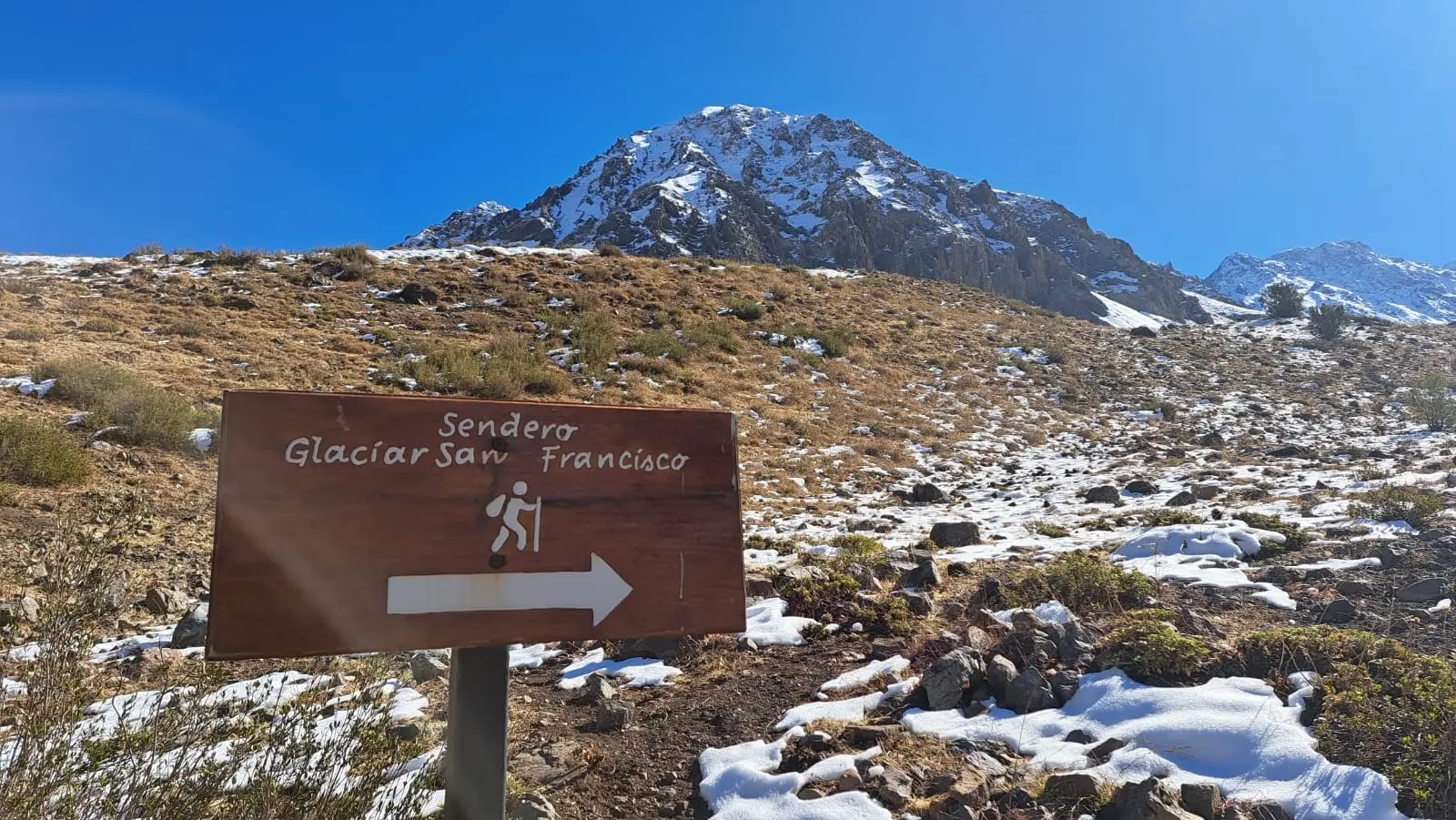
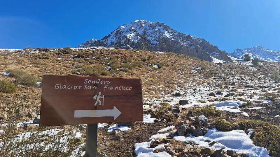
The trail to the San Francisco Glacier is 6 km long and takes about 5 hours round trip, at a medium level of difficulty. Reaching the glacier or its base is currently not allowed because of unstable rockfall: the route goes as far as Laguna El Morado, at 2,400 m above sea level. Along the way there are springs of iron-carbonated mineral water, the Aguas Panimávida.
The rules are clear: visits are daytime only, camping (except for specialized mountaineers) and fires are not allowed, and neither are pets, drones, bicycles or alcohol. Always stay on the trail. With snow, gaiters and snowshoes are recommended. Tickets are bought at pasesparques.cl.
Access is through Baños Morales, a hamlet at about 1,800 m where the Morales and Volcán rivers meet, home to about 40 people. There are food stalls and a mineral pool. You can explore it on the private El Morado trekking tour.
Valle de Colina Hot Springs
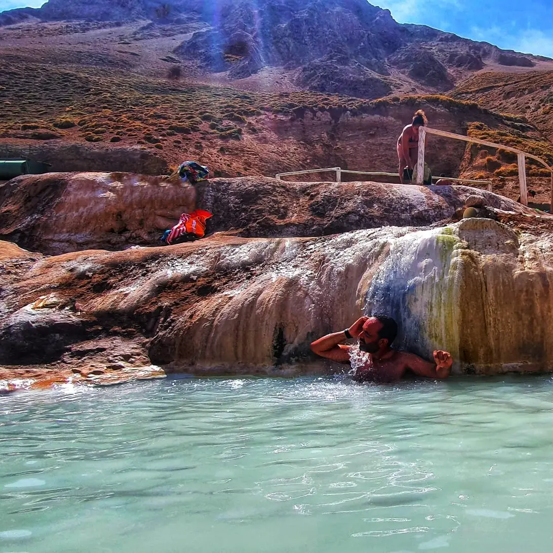
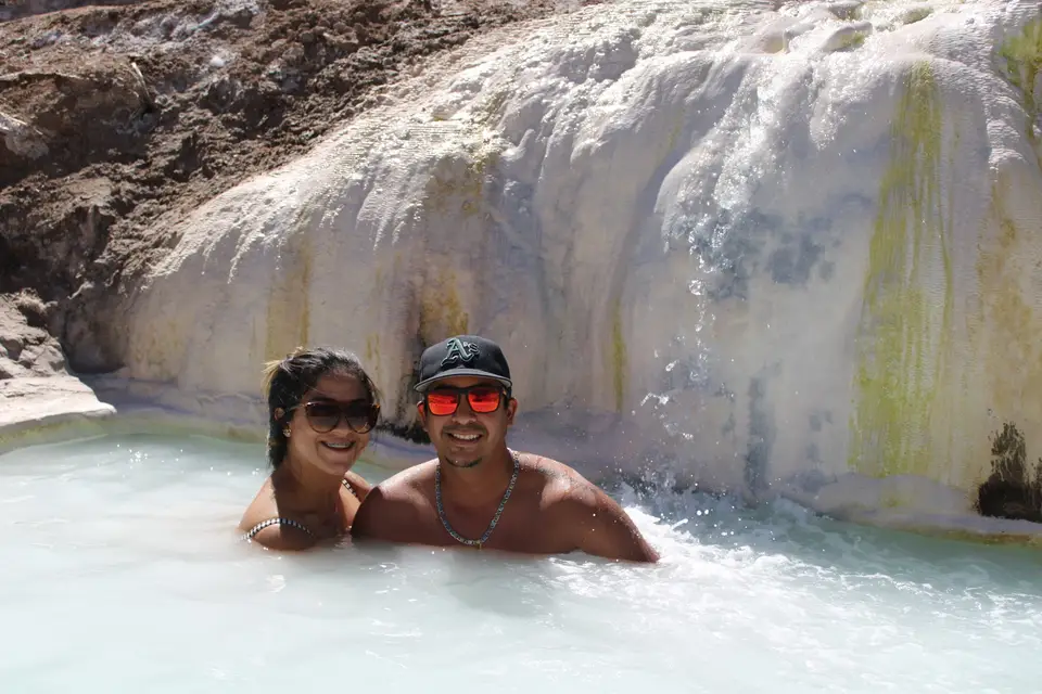
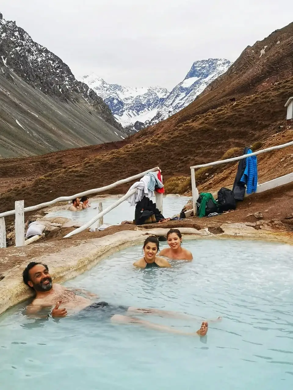
Valle de Colina Hot Springs lie at more than 2,500 m and about 109 km from Santiago, with nine terraced pools of volcanic origin in the heart of the mountains. The final stretch is gravel and, because of the altitude, it is a good idea to bring warm clothing for when you get out of the water.
You can visit them on the Valle de Colina Hot Springs tour or on its private version.
Termas del Plomo and Laguna de Los Patos
About 10 km up the mountains from El Yeso Reservoir are the Termas del Plomo, with pools of warm water. From there, a one-hour walk leads to Laguna de Los Patos, an emerald-colored lagoon in the middle of a vegetated wetland. There are also horseback services toward the border. These are higher areas with more demanding access than the lower part of the valley: check the road status with an operator before heading up.
Horseback rides and arriero life
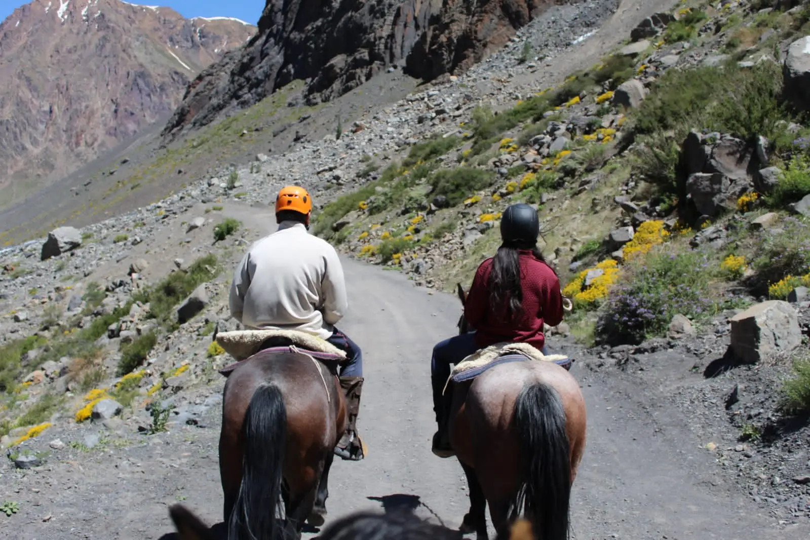
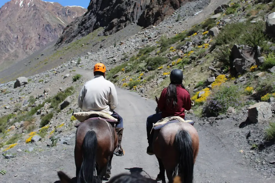
Taking livestock up to the mountains in summer, known as veranadas, is a very old practice in the valley that partly survives today, with sheep, goats, mules and horses. Today you can explore the valley on horseback with local arrieros. It is best to always hire registered operators.
Discover the experience on the private horseback riding tour in Cajón del Maipo.
Cascada de las Ánimas
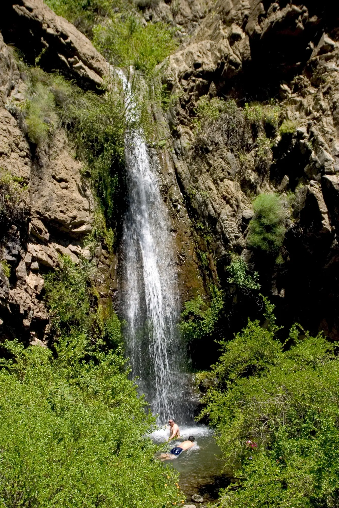
In San Alfonso, Cascada de las Ánimas is a private nature sanctuary reached after a walk of about 25 minutes. It is a good short stop to combine with other plans for the day.
San José volcano and the Lo Valdés refuge
The San José volcano is a 5,856 m double stratovolcano on the border with Argentina. Its last recorded eruption was in 1960. The Lo Valdés refuge, built in 1932 and considered the first mountain refuge in Chile, is still in operation. The area is also of particular geological interest: its rocks hold marine fossils (see “How the valley was formed”).
To round out the day
Before heading up, the center of San José de Maipo, with its historic Plaza de Armas, is a good place for breakfast. In El Manzano you can try local craft beers, and Parque Pailalén offers an astronomy tour that combines hiking with stargazing. For dinner, San Alfonso has a cluster of restaurants serving dishes that include smoked wild boar, stuffed chicken, rabbit, ceviche and cazuela.
When to go and what to bring
Cajón del Maipo can be visited all year, but it changes a lot depending on the month and the altitude. This table shows the approximate average temperature for each month of 2025 at two points in the valley, with the average of the lows and highs in parentheses:
| Month | San José de Maipo (about 970 m) | El Yeso Reservoir area (over 2,500 m) |
|---|---|---|
| January | 22 °C (18 to 28) | 14 °C (10 to 18) |
| February | 23 °C (18 to 28) | 16 °C (12 to 19) |
| March | 20 °C (15 to 25) | 11 °C (8 to 15) |
| April | 17 °C (12 to 22) | 8 °C (5 to 11) |
| May | 14 °C (10 to 19) | 5 °C (2 to 7) |
| June | 8 °C (4 to 14) | −2 °C (−5 to 2) |
| July | 12 °C (8 to 19) | 3 °C (0 to 6) |
| August | 9 °C (5 to 15) | 0 °C (−3 to 3) |
| September | 12 °C (7 to 18) | 2 °C (−1 to 5) |
| October | 15 °C (10 to 21) | 4 °C (1 to 7) |
| November | 17 °C (12 to 23) | 7 °C (3 to 11) |
| December | 20 °C (15 to 25) | 10 °C (6 to 14) |
- Summer (December to March): it is hot down low, with averages of 20 to 23 °C. Up high it is cool, with averages of 10 to 16 °C, and a jacket is welcome in the afternoon. It is the most comfortable time for hiking.
- Autumn (April and May): temperatures drop quickly. Up high, averages go from 8 °C in April to 5 °C in May.
- Winter (June to August): down low, averages of 8 to 12 °C. Up high, near the reservoir, the average is around 0 °C or below, there is snow and roads can close. At El Morado, precipitation is concentrated between April and September.
- Spring (September to November): temperatures rise month by month. It is still cold up high (averages of 2 to 7 °C) and there can be snow.
What to bring.
- Layers and a warm, waterproof jacket for the afternoon.
- Hiking boots, a hat, sunglasses and sunscreen.
- Water, snacks and a bag to take your trash with you.
- Cash, because some places accept cash only.
- Gaiters and snowshoes if there is snow at El Morado.
Altitude. The risk of altitude sickness mainly appears for people who sleep at about 2,450 m or higher. Baños Morales and El Morado are below that; El Yeso Reservoir and Valle de Colina Hot Springs are above it. On a day trip the risk is low, but it rises if you ascend very quickly. Avoid alcohol, stay hydrated and go down in altitude if headache, dizziness or nausea get worse.
Wildlife of Cajón del Maipo
These are the animals recorded in the area, mainly in El Morado Natural Monument.
Andean condor. It is the valley’s most emblematic bird. Males weigh between 11 and 15 kg and the wingspan can slightly exceed 3 m. In Chile it is classified as Near Threatened, and worldwide it has been listed as Vulnerable since 2020, with about 6,700 mature adults. Its threats include lead poisoning, hunting, and collisions with power lines and wind turbines.
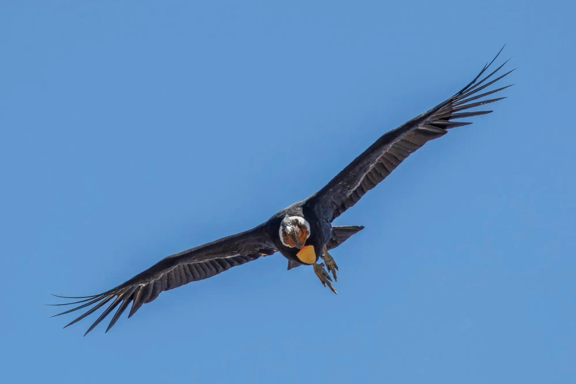
Andean condor in flight. Photo taken in Farellones, Metropolitan Region.
Other birds. 44 species have been recorded in El Morado. They include the black-chested buzzard-eagle (águila mora), the Andean crested duck (pato juarjual cordillerano), the torrent duck (pato cortacorrientes), the white-sided hillstar (picaflor cordillerano), the giant hummingbird (picaflor gigante), the mourning sierra finch (yal) and the grey-hooded sierra finch (cometocino).
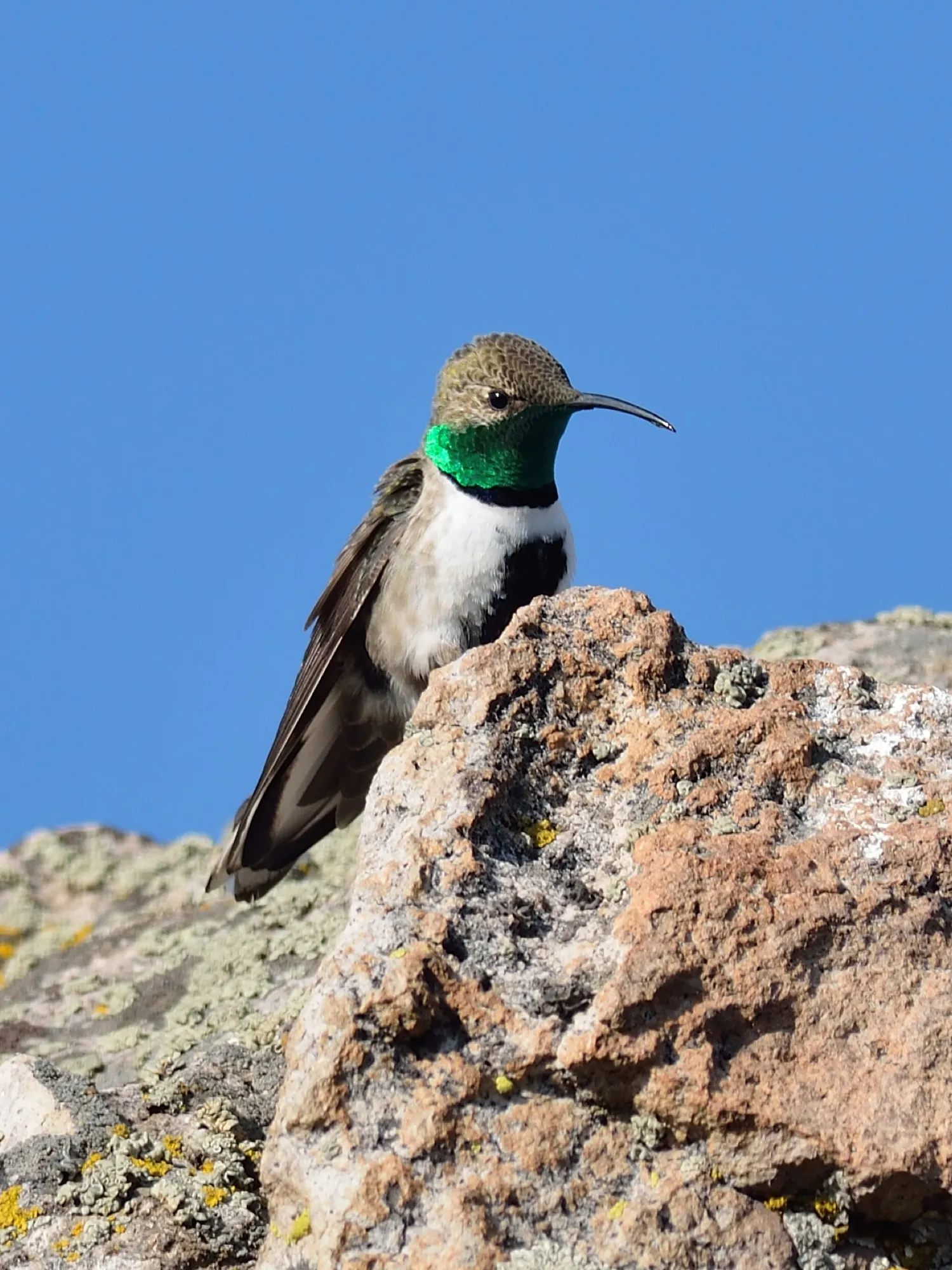
Male white-sided hillstar (picaflor cordillerano). Photo taken in Farellones, Metropolitan Region.
Mammals. There are the degu, the coruro, several bats and, intermittently, the chilla fox. The culpeo fox is a possible sighting at El Yeso Reservoir. Guanacos and pumas no longer live in El Morado, although in 2025 a guanaco repopulation project was announced for sanctuaries in the mountains of the Metropolitan Region.
Reptiles and amphibians. Six reptile species have been recorded in El Morado. The most abundant is the El Morado lizard (40.9% of records), which is named after the place, followed by another lizard that accounts for 37.7%. Among the amphibians there is one that stays active even under the snow, above 2,500 m.
Fish and insects. There are no fish within the monument, because of the strength and turbidity of its watercourses. Among the insects, the native bumblebee (Bombus dahlbomii) stands out, a pollinator threatened by the yellowjacket wasp.
Flora of Cajón del Maipo
In the Santiago Andes (the Maipo and Yeso rivers and the El Sauce stream, between 800 and 4,000 m) 357 species of vascular plants have been recorded. Around 29% are endemic and 54% are native but not endemic. Plant cover goes from almost 100% at 800 m above sea level to about 5% at 3,400 m. The vegetation is arranged in five belts, from bottom to top: sclerophyllous scrub, subandean scrub, Andean scrub, high-Andean steppe and high-Andean desert.
At low elevations the typical vegetation of central Chile dominates, the sclerophyllous forest, with quillay and litre. In El Morado between 280 and about 300 species of vascular plants are recorded, of which about 45 are rare or of limited distribution. Even so, about 79% of the area is bare ground because of the altitude.
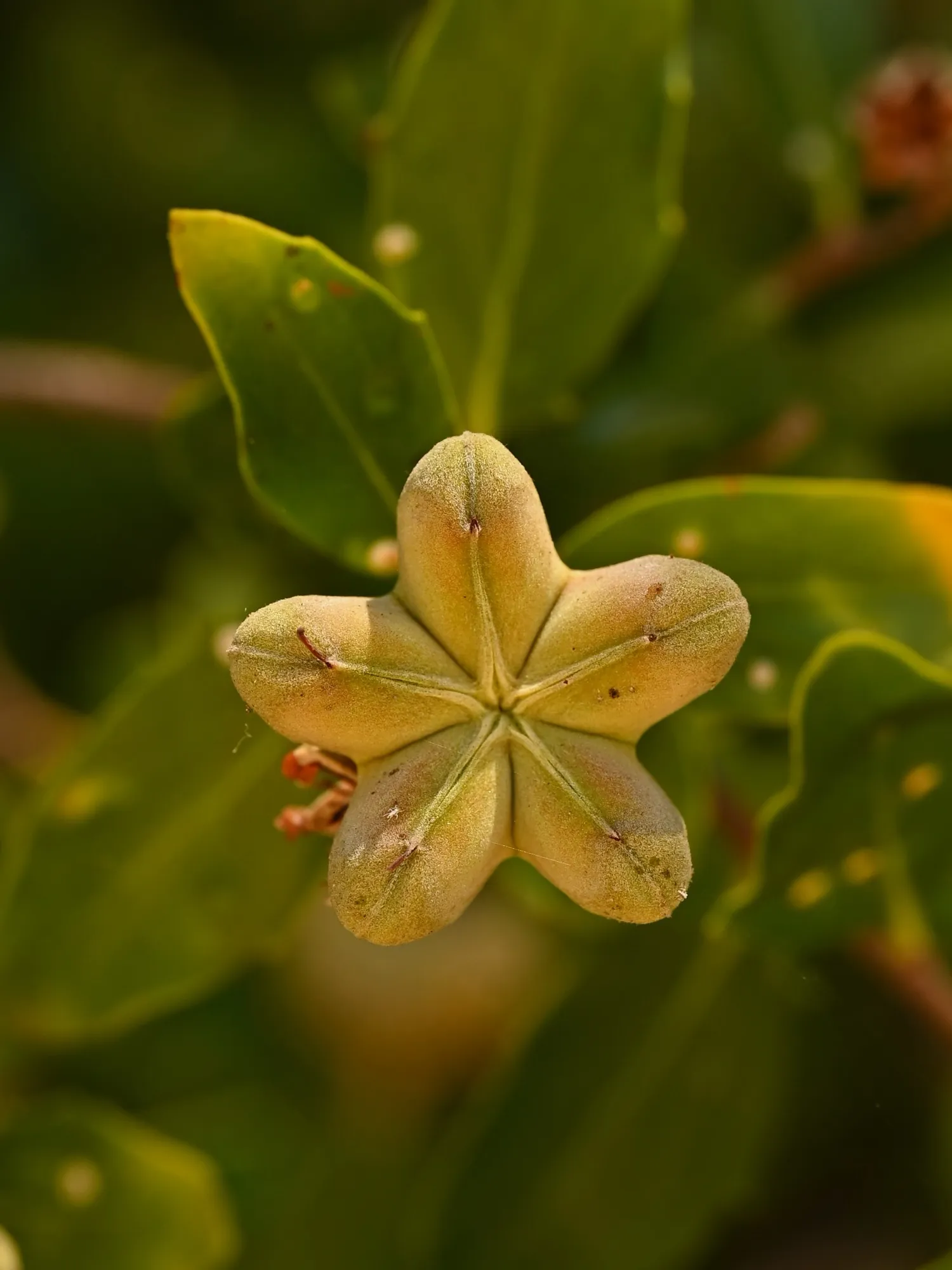
Close-up of the quillay, with its characteristic five-pointed star shape. Photo taken in the Botanical Garden of the University of Talca.
- Below 1,900 m: molle, hierba blanca, siete camisas, guindillo and cola de zorro.
- Above 1,900 m: coirón, clavel del campo, soldadillo, pingo pingo and vira vira.
- High-altitude meadows (vegas): wetland plants such as sedges and rushes.
The frangel, or olivillo de la cordillera, is the only tree in the monument and is classified as Vulnerable. The llaretilla, the espinofloro (a cactus) and the pink lirio de cordillera are also Vulnerable.
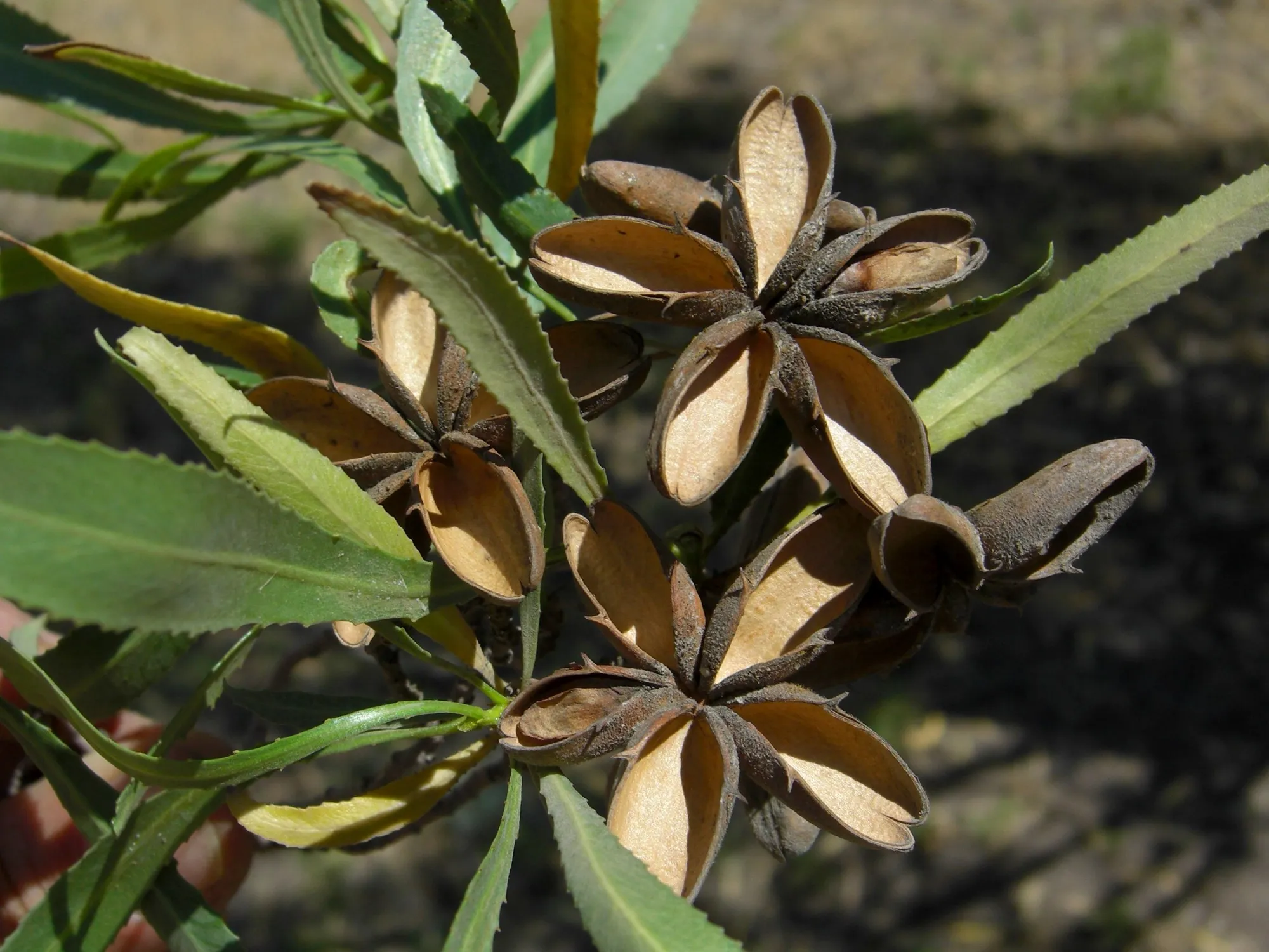
Fruits of the frangel (olivillo de la cordillera). Photo taken in a mountain valley east of Santiago.
How the valley was formed
A raised seabed. At the summit of Cerro Rubillas, inside El Morado, there are marine fossils such as ammonites and oysters between 136 and 146 million years old: proof that this part of the mountain range was once sea. The Lo Valdés Formation, from the Upper Jurassic and Lower Cretaceous, is famous for its ammonites, and 1,429 specimens have been collected there.
Retreating glaciers. The San Francisco Glacier lost 19% of its volume between 2010 and 2018 and is melting fast. El Morado Natural Monument preserves the glacier’s cycle of advance and retreat.
The river. The Maipo rises at the foot of the Maipo volcano, at about 3,135 m, and at about 1,200 m it is joined by the Volcán and Yeso rivers. Other tributaries in the Cajón are the Colorado and the Olivares.
History and customs
First inhabitants. In the Santiago mountains there were prehistoric seasonal occupations, with camelid hunting, gathering and summer herding, but no permanent settlements. Documents from the 16th and 17th centuries mention the Chiquillanes, transhumant hunters of the area.
Silver and founding. San José de Maipo was founded on July 16, 1792, by order of Ambrosio O’Higgins, to support the San Pedro Nolasco silver mining. At El Volcán copper was mined from at least 1842, and later gypsum; activity declined from 1958 and stopped completely in 2006.
The Cajón train. The railway from Puente Alto to El Volcán began construction in 1906. It was about 60 km long with a 600 mm gauge, carried minerals, gypsum and passengers, and from 1913 was run by the Railway Battalion (Batallón de Ferrocarrileros). Its sections opened between 1910 and 1914. Regular public use ended in 1978 and it was closed completely in 1985.
Local customs and products. Transhumance and the work of the arrieros are the oldest tradition in the valley. Local products include almonds, walnuts and handicrafts in laja stone and alabaster. The commune celebrates the anniversary of San José de Maipo every July 16, and in September the Fiesta de la Chilenidad and a communal cueca championship.
Gallery